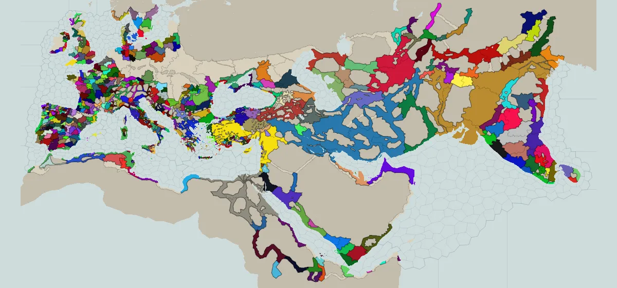
 304 BC
Imperator: Rome
The Mediterranean world after the Diadochi split Alexander's empire, drawn territory by territory.
reads a save (paid)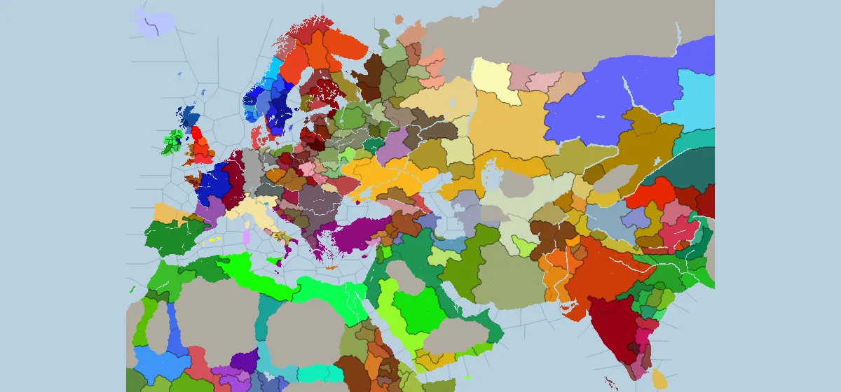 867 and 1066
Crusader Kings II
The same two centuries CK3 draws, from the game it replaced. A CK2 province IS its county, so the atom and the political unit are one shape.
2 start dates8 map modes (paid)reads a save (paid)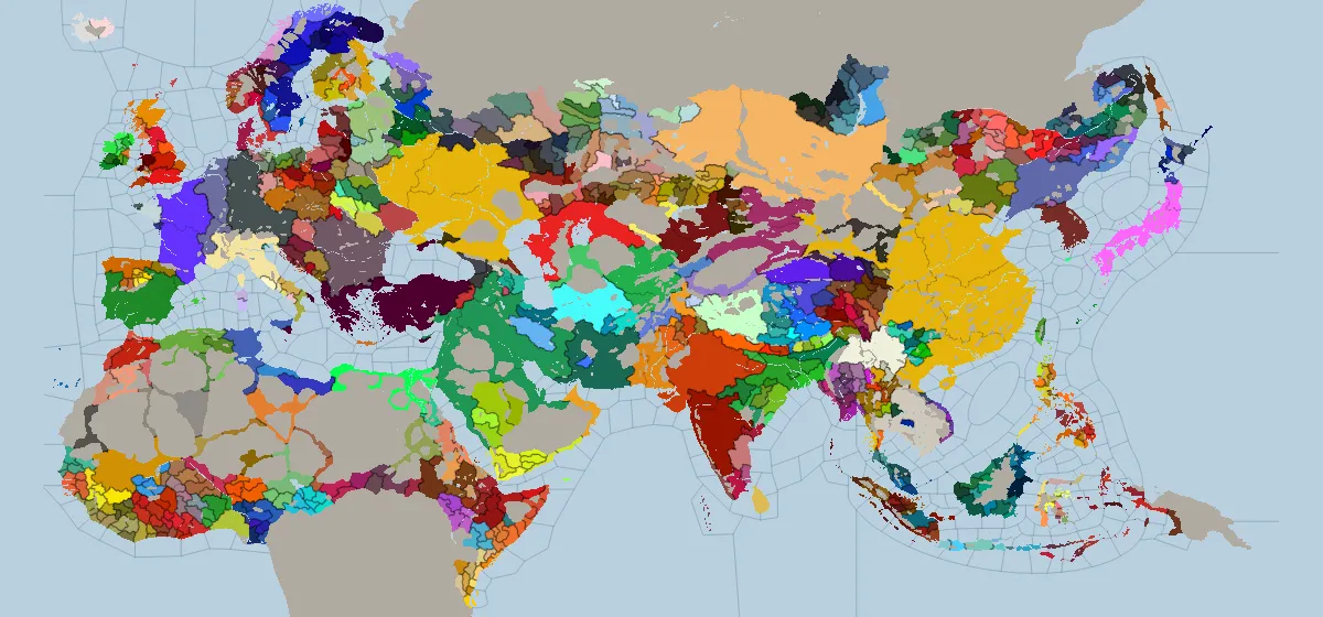 867 and 1066
Crusader Kings III
Two start dates, drawn county by county. Crusader Kings III has no country tag, so a realm is computed from the title history.
2 start dates6 map modes (paid)reads a save (paid)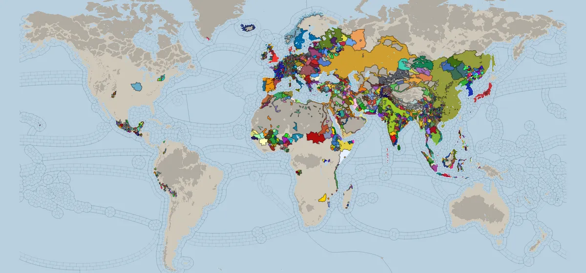 1337
1337
Europa Universalis V
The world on 1 April 1337, drawn from the location, the finest unit the series has had.
65 map modes (paid)reads a save (paid)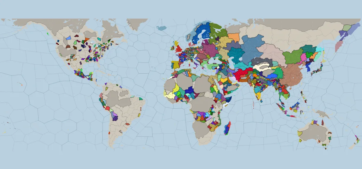 1444 to 1792
Europa Universalis IV
Every one of the twelve start dates the game ships, from 1444 to the French Republic. One shape per province, coloured by its owner.
8 map modes (paid)reads a save (paid)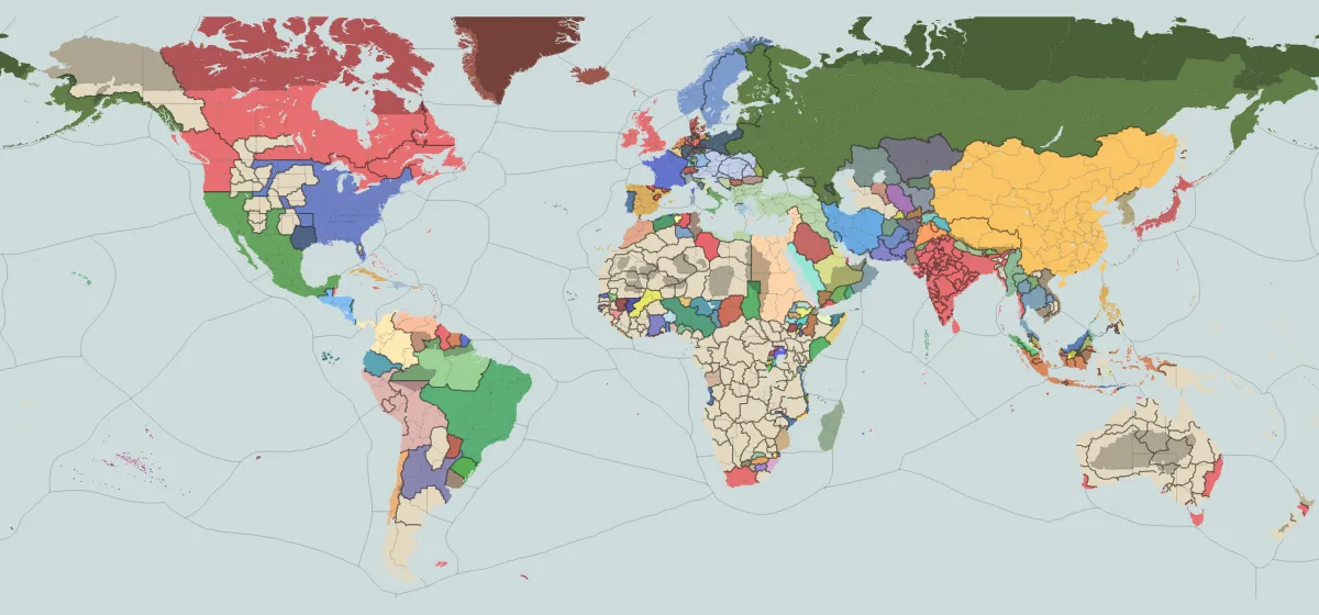 1836
1836
Victoria 3
The world on 1 January 1836, drawn state by state. A state split between countries is drawn as one shape for each of them.
8 map modes (paid)reads a save (paid)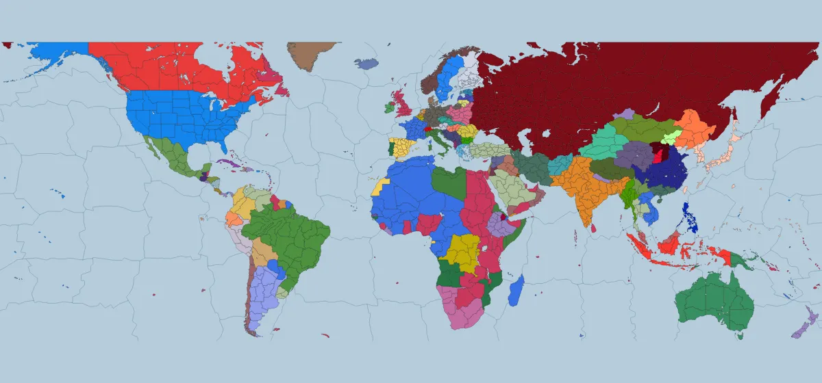 1936 and 1939
Hearts of Iron IV
The world at both start dates. Switch the date and the whole map changes owner.
2 start dates4 map modes (paid)reads a save (paid)